Craighead Institute
Connect with Craighead Institute
  • Home
    • About Us >
      • Frank Craighead Legacy
      • Board of Directors
      • Advisory Board
      • Staff
      • Newsletters & Annual Reports
      • 2013 990
      • Contact Us >
        • Media and Resources >
          • Past Projects >
            • The Interior Cedar-Hemlock Forest of North America
            • Conservation Planning for the Four Great Rivers of eastern Tibet
            • Forest Structure and Biodiversity
          • In the News
          • Blog
          • Film Projects
  • Programs
    • Safe Highway Crossings for Wildlife
    • Recent Work
    • Recreational trails and Wildlife Program
    • Murals for T and E Species in Bozeman >
      • Mural Winners
      • Endangered Species Murals
      • T and E Plants
      • T and E Birds
      • T and E Mammals
      • T and E Fish
    • Conservation 2100 >
      • Renewable Energy >
        • Wind Power Development
        • Transmission Lines
    • Conservation Science >
      • Wilderness Study Areas and Wildlife
      • Grizzly Bears
      • Pika >
        • Pika Publications
      • Wolverines
      • Adopt a Pika
      • Conservation Technology >
        • Bridger Canyon LIDAR Project >
          • Why LIDAR?
    • Conservation Planning >
      • Sustainable Land Use >
        • Conservation Planning for Regional Scale Projects in the Yellowstone to Yukon
        • Madison Valley, Montana
        • High Divide
        • Canmore: a case study in conservation planning
      • Transportation >
        • Bozeman Pass
        • Madison Valley
    • Youth in Conservation >
      • Alpine Ecology & Climate Change
      • Who's in Your Back Yard?
      • Good Fences Make Good Neighbors
  • Store
  • Donate
    • Appeal for 2018
  • Blogs
    • Gallatin Forest Plan
    • Attack on Public Lands
    • Appeal for 2018
  • Mountain Journal
  • Mural Updates

Home

Programs
    Sustainable Land Use
        Madison Valley   
        High Divide
    Climate Research
        Pika Research
        High Divide
    Transportation
        Bozeman Pass
        Madison Valley
    Renewable Energy
        Wind Power Development
        Transmission Lines
    Conservation Planning Book
    Bridger Canyon LIDAR
        Why LIDAR?
    Past Projects


WILD9 Conference "Marine Birds and Wind Power Development" Poster (pdf) 

Wind Power Development:
Minimizing Conflicts with Marine Birds in British Columbia

Picture
BC Coast
Guiding renewable energy development planning

Wind power is the fastest growing source of energy in the world. The wind power industry creates new jobs, offsets emissions from fossil fuel-fired power plants, and enhances security of the electricity supply. It also generates billions of dollars in revenue every year. Canada’s wind power potential is one of the greatest in the world, and has been conservatively estimated at 30,000 Megawatts (MW). Research has shown that British Columbia has the second windiest coastline on the planet. In response to the Kyoto Protocol, the United Nations Climate Change Conference in Bali, and the recommendations of the Intergovernmental Panel on Climate Change, the British Columbia government has set a goal of reducing greenhouse gas emissions by 30% by the year 2020. This will require a major emphasis on the development of renewable sources of energy, particularly wind energy. British Columbia will face great pressure for development and it is imperative that all renewable energy projects be planned with great care as there is a tremendous potential for negative environmental impacts.
The Craighead Institute partnered with the David Suzuki Foundation (DSF) and the Raincoast Conservation Society (RCS) of Canada to examine areas where potential impacts to marine birds may occur as a result of wind farm developments along the British Columbia coast. This was a demonstration project intended to show how a comprehensive assessment of potential ecological impacts can guide renewable energy development planning.

DSF supports wind power as a major source of renewable energy, and views this pilot project as a first step in the practicable mapping that needs to be done in the eastern Pacific. Funding for this project was provided by DSF and the Rockefeller Brothers Foundation (RBF). RBF has expressed great interest in supporting an expanded strategic development plan for the BC coast that incorporates a reserve network of undeveloped areas that can maintain coastal biodiversity.


Wind Development Models

Picture
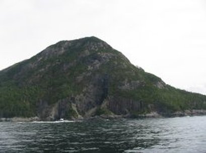
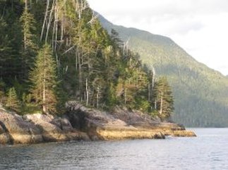
Coast of British Columbia
The Craighead Institute is working with the University of California Santa Cruz to apply fluid dynamics wind models to the BC coast to determine areas of highest potential for wind power development. The Institute has developed an analysis framework to integrate data on marine bird distribution and movement in order to determine areas of greatest risk for negative impacts on marine birds. This framework can then be used for other taxa and other types of development. Outcomes of the project include:
  • ∙  Compilation of data to inform policy makers of potential sites for wind development that have minimal conflict with bird populations, including migratory species.
  • ∙  Distribution of a project report which will provide data on ecologically sound choices for wind farm development in the eastern Pacific.
  • ∙  Recommendations for additional practicable resource mapping of the west coast of North America.

Powered by Create your own unique website with customizable templates.