Madison Valley: Identifying road kill hotspots to guide mitigation efforts
A few years after our Bozeman Pass project we began a wildlife and context-sensitive design study with the Montana Department of Transportation and the Western Transportation Institute on US Highway 287 in the Madison Valley: Evaluating Wildlife Mortality Hotspots, Habitat Connectivity and Potential Accommodation along US 287 and MT 87 in the Madison Valley, Montana.Information about the project can be found on the MDT website.
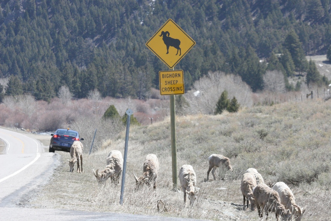
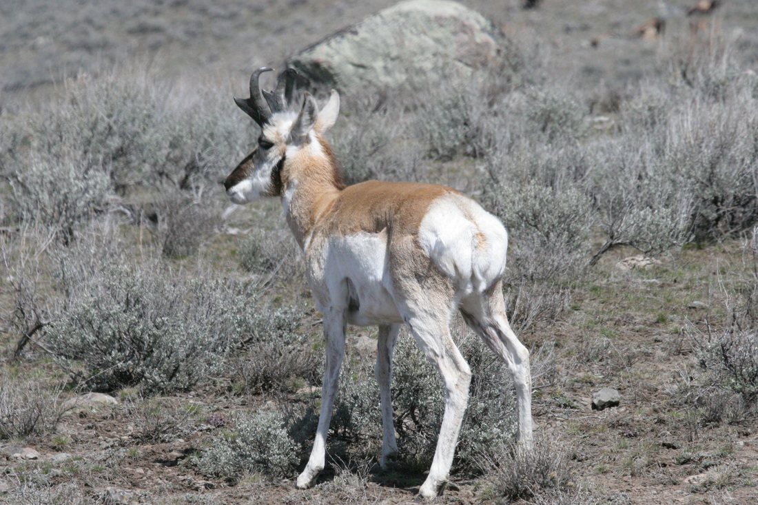
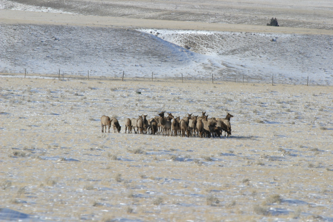
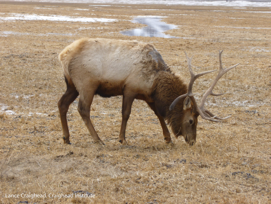
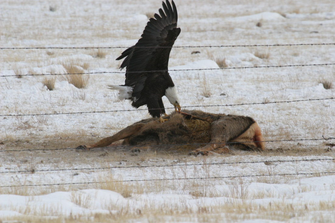
Madison Valley is situated in the Greater Yellowstone Ecosystem (GYE) and plays a key role in connecting this ecologically intact ecosystem to the other intact areas of the Central Rockies. US Highway 287 forms a partial barrier for wildlife movement between protected lands around Yellowstone Park and a large intact block of core wildlife habitat on public lands that exists in the Gravelley, Snowcrest, and Centennial Mountains. As with Bozeman Pass, wildlife-vehicle collisions (WVC) along Highway 287 create both public safety and wildlife connectivity issues. Species of interest from a safety perspective are any large-bodied animal – pronghorn, bighorn sheep, mountain goat, deer, bear, elk, and moose. From a connectivity perspective, it is important to consider barrier effects that traffic imposes on elk, grizzly bear, pronghorn, wolverine and boreal toad, as these are species whose combined connectivity needs encompass those of all other species in the Madison Valley.
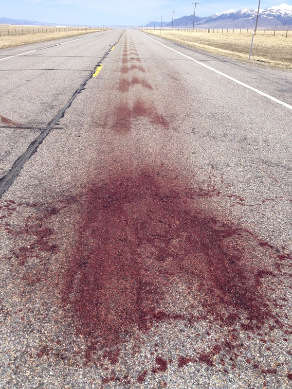
To reduce risk to motorists, and to better understand areas of concern with regard to connectivity in the Valley, road mortality data has been systematically collected and mapped to elucidate patterns of WVC and identify hotspots. Like with Bozeman Pass, these data can then be used to guide design modifications and mitigations that will allow wildlife to safely cross the highway. Improving safety and connectivity can be done now in a timely and cost-effective manner. As time goes by, traffic volumes are likely to increase along with risk to motorists, and impacts on wildlife, if the road design is not improved. Mitigations can be built into planned construction projects to minimize cost if data are available in the early planning stages. Wildlife habitat and connectivity modeling by the Craighead Institute and Wildlife Conservation Society (WCS) has identified three key areas for wildlife movement that are the focus of data collection and highway improvement efforts - Norris Hill, Papoose Creek, and Raynolds Pass areas.
A body of research, including the Craighead Institute’s study on Bozeman Pass, supports the conclusion that properly located crossing structures, combined with wildlife fencing, can reduce or eliminate wildlife-vehicle collisions while increasing connectivity.
Craighead Institute and Western Transportation Institute staff have conducted a systematic road kill survey of Highway 287 from Norris to Raynolds Pass for a two year period that ended in April 2014. Data will be analyzed with an MDT biologist in order to develop a set of recommended mitigations at specific sites on Highway 287. Reports that have been generated by the project are available on the MDT website.