The Four Great Rivers Ecological Environment Protection Plan
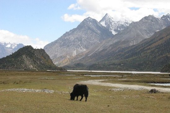
Rawu Lake in Eastern Tibet
Lance Craighead of CI is involved in a project in Eastern Tibet directed by Future Generations, the Tibetan Department of Science and Technology, and The David Suzuki Foundation.
For a decade and a half, Future Generations has been actively involved with landscape-scale, community-based conservation in this part of Asia. The approach has been successful in a number of places, and resulted in the establishment of the 6 million acre Qomolangma (Mt Everest) National Nature Preserve (QNNP) in Tibet, China. The QMMP is one of the models for the Four Great Rivers Ecological Environment Protection Plan. Decades of experience and research has led to a set of principles for community-based conservation that will guide this program.
When the Four Great Rivers Ecological Environment Protection Plan was being formulated, Future Generations turned to the David Suzuki Foundation (DSF) to provide expertise in modern approaches to conservation planning. DSF is the most well-respected science-based conservation organization in Canada with years of experience in large-scale conservation projects on the British Columbia coast, Haida Gwai, and the Boreal Forest.
The David Suzuki Foundation then invited Lance Craighead to assist with the development of an ecologically-based conservation area design for the Four Great Rivers region, an area about the size of the state of Washington. Lance Craighead and CERI began working with Derek Martin of DSF to train Tibetan scientists with the Tibetan Department of Science and Technology in mapping and prioritizing areas for conservation. One of the first needs identified was to acquire and create data that could be used in a Geographic Information System (GIS) and to build a GIS lab in Tibet.
The Four Great Rivers team then turned to the world leader in GIS; the Environmental Systems Research Institute (ESRI). Steve Beckwitt travelled to Lhasa in 2006 with Derek Martin and set up a GIS lab. DSF provided the computers and ESRI provided the software. Tibetan technicians received training in Beijing from ESRI China and then Steve provided a workshop in Lhasa with an introduction to landcover mapping. In 2007, DSF, CERI, and ESRI collaborated on landcover mapping field work and a GIS workshop.
